Fishing is an age-old activity that combines patience, skill, and knowledge of the waters. Whether you’re a seasoned angler or a beginner looking to cast your first line, having the right tools at your disposal is crucial. Among these tools, fishing charts and maps stand out as indispensable resources. They provide essential information about fishing spots, underwater topography, and fish species. In this article, we’ll explore some of the best fishing charts and maps available to enhance your fishing experience.
Fishing charts and maps are more than just guides; they are your gateway to understanding the vast aquatic world. These resources help you locate the best fishing spots, identify fish species, and navigate the waters safely. They cater to different needs, from identifying saltwater fish along the Gulf of America to freshwater species in the Northeast.
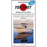
Fishing maps often include navigational aids such as lighthouses, buoys, and water depth indicators. These features ensure safe passage and help you avoid underwater hazards. For instance, the TopSpot N209 Map covering the Lower Key Area from Key West to Rebecca Shoal is a great resource for anglers exploring these waters. It combines Loran-C and GPS coordinates for precise navigation.
Knowing the local fish species and their regulations is vital for ethical fishing. Resources like the Florida Saltwater Fishing Guide offer a waterproof fish identification book that includes state fishing regulations. This guide ensures you’re catching legal species and adhering to size and bag limits.


From quick-reference fishing knot guides to comprehensive fish ID books, these tools enhance your angling skills and knowledge.
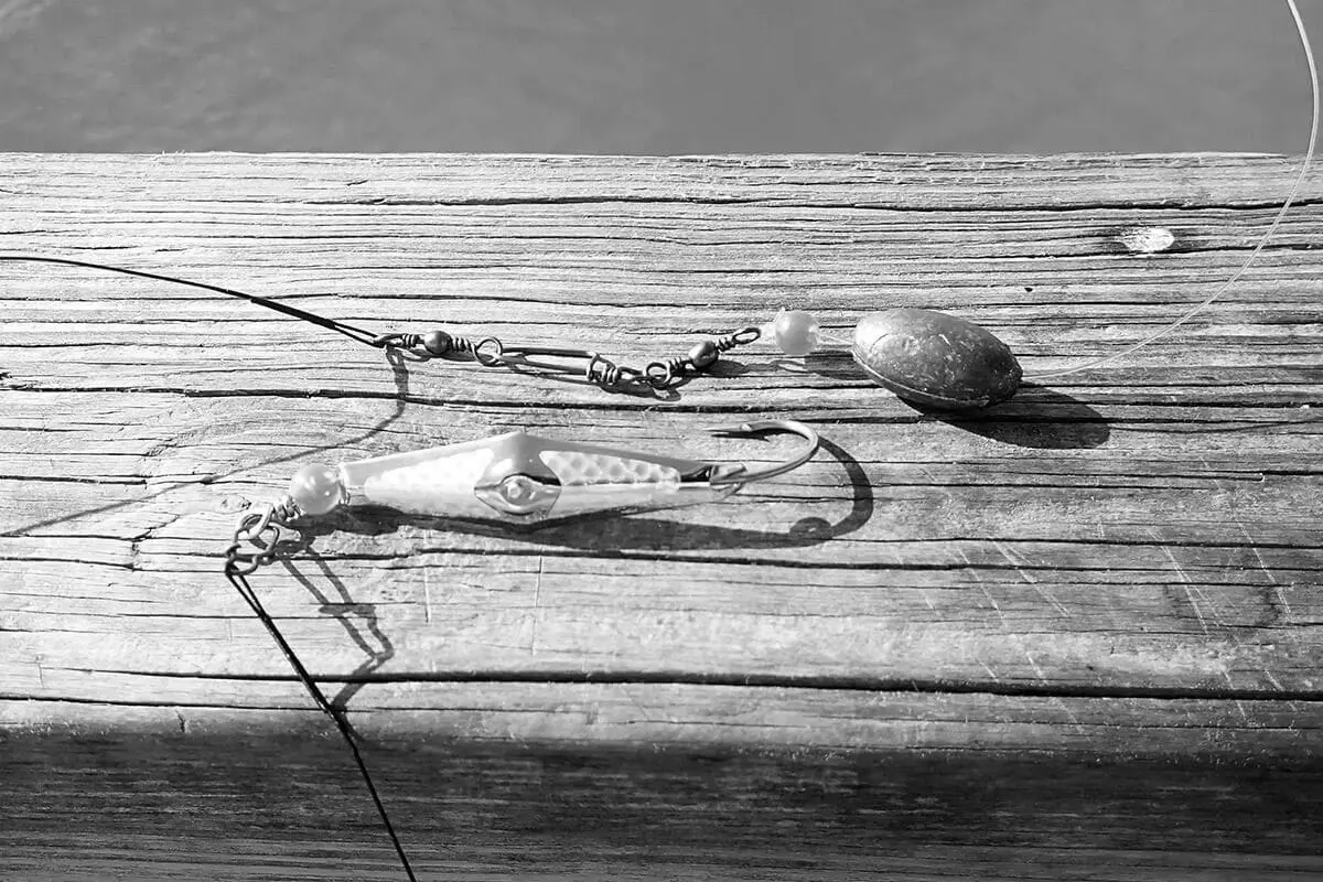
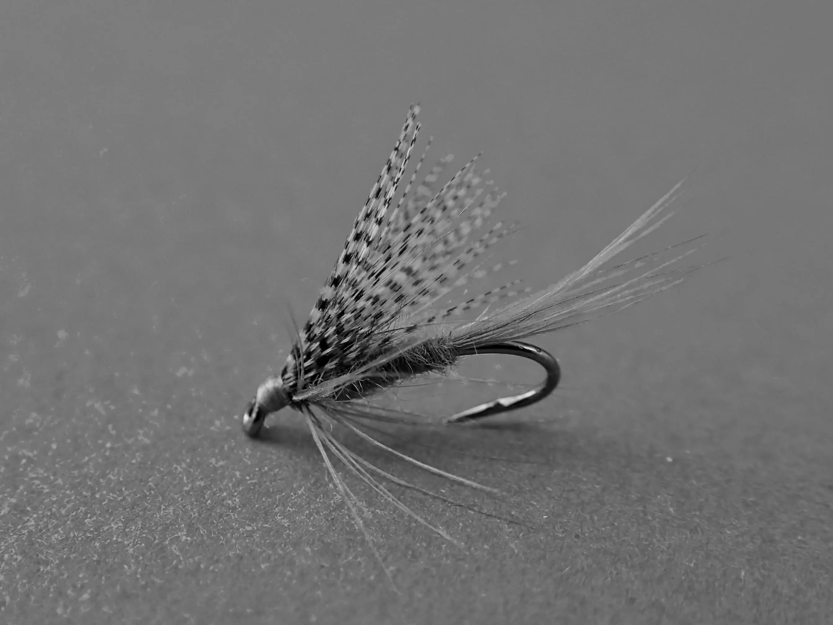
Mastering fishing knots is crucial for securing your bait and tackle. Guides such as the “Quick Reference Fishing Knots #1” provide waterproof instructions on 18 essential fishing knots. These pocket-sized guides are perfect for on-the-go learning and practice.
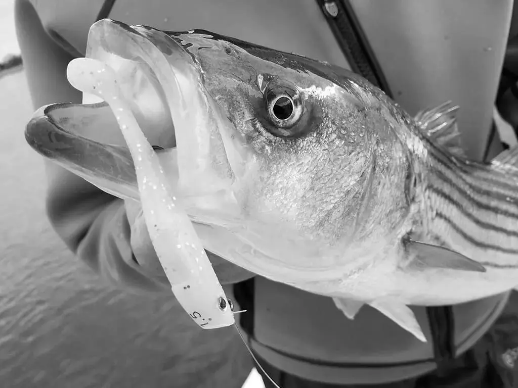
For those keen on fish species identification, the “How to Catch ‘Em Saltwater Fish Identification #1” offers a waterproof quick reference for saltwater fish. Similarly, the “Tackle Box I.D. Texas Saltwater Fish Identification Card Set” includes three waterproof cards to aid in recognizing Texas saltwater species.


Let’s dive into some of the top fishing charts and maps that every angler should consider adding to their collection.
Ideal for scuba divers and snorkelers, this map is a handy tool for identifying Hawaiian reef creatures. Its compact size and waterproof design make it a durable companion on underwater adventures.
This 36-inch sticker rule not only acts as a measuring tool but also provides quick access to Florida’s saltwater fishing laws. It’s a must-have for anglers fishing in the Gulf of America to ensure compliance with local regulations.
For boaters, the VHF Radio Marine Quick Guide Chart is an essential reference card. Sized at 8.5×11 inches, it provides vital information on VHF radio channels, ensuring clear communication and safety on the water.
The integration of technology with traditional fishing maps and charts can significantly elevate your fishing experience.
Digital maps offer real-time updates and interactive features that traditional maps can’t provide. Apps like Fishbrain and Navionics allow you to track your fishing spots, share catches, and connect with other anglers. These platforms often include detailed maps with fishing forecasts and weather updates.
Incorporating GPS technology and fish finders into your fishing gear can drastically improve your success rate. Devices like the Garmin Striker series combine GPS capabilities with sonar technology to locate fish and map underwater structures.
Using fishing charts and maps effectively requires some practice and understanding. Here are a few tips to get the most out of these resources:
- Study Before You Go: Familiarize yourself with the map or chart before heading out. Pay attention to key landmarks, depth indicators, and any special notes about the area.
- Check for Updates: Fishing spots and regulations can change. Ensure your maps and guides are up-to-date to avoid surprises.
- Combine Resources: Use a combination of maps, guides, and digital tools for comprehensive coverage. This approach provides multiple perspectives and enhances your understanding of the fishing area.
- Respect Local Regulations: Always adhere to local fishing laws and regulations as noted on your maps and guides. This practice not only ensures sustainable fishing but also protects you from legal penalties.
Fishing charts and maps are essential tools that provide valuable insights into the aquatic world. From navigation to fish identification and regulation compliance, these resources enhance your fishing experience and increase your chances of success. Whether you prefer traditional waterproof maps or digital platforms, having the right information at your fingertips can make all the difference on your next fishing trip. So, equip yourself with the best fishing charts and maps, and head out to explore the waters with confidence and knowledge.